
- Home
- Your Government
- Departments
- Public Works
- Water Division
- Hydrant Flushing
Hydrant Flushing
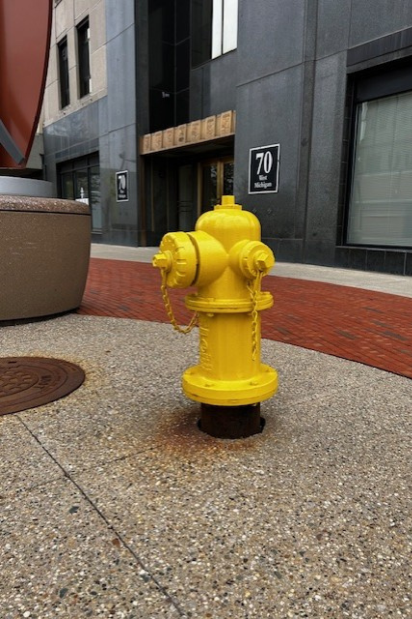
Flushing hydrants and water mains provides several benefits to our water system users. Regular flushing helps deliver the highest water quality to our customers, ensures fire hydrants are ready for emergency use, and allows crews to confirm the system is operating properly while identifying areas that need maintenance or repair.
In 2025, the City of Battle Creek completed two rounds of citywide hydrant flushing—one in May and another in August. While hydrant flushing is typically performed once a year, the second round was a proactive measure to help reduce levels of total trihalomethanes (TTHM) in the water system. This effort supports the City’s ongoing work to replace the aging well system at the Verona Well Field.
In addition to these annual and citywide flushes, the city now performs targeted hydrant flushing daily in strategic sections of the system. This is not a system-wide flush, but rather focused on areas where water demand may be lower or where water movement needs to be improved. These daily flushes help maintain water quality and reduce conditions that contribute to TTHM formation.
 About the flushing process
The flushing process often results in cloudy or discolored water; please be mindful of this while doing laundry or other tasks that could be affected. We do what we can to limit this, and the water always is safe during the process.
Discolored or rusty water may be present in the area where crews are flushing, as well as in neighboring areas. If you see discolored water from your taps, we recommend that you run the cold water in your home or business.
You might see water pressure changes while we flush, but those should be brief. We do not shut off water during this process, and boil water advisories are not necessary. If you do lose water pressure for a long period, or completely, check your aerators first.